Signs on the A719
Introduction
The photograph on this page of Signs on the A719 by wfmillar as part of the Geograph project.
The Geograph project started in 2005 with the aim of publishing, organising and preserving representative images for every square kilometre of Great Britain, Ireland and the Isle of Man.

There are currently over 7.5m images from over 14,400 individuals and you can help contribute to the project by visiting https://www.geograph.org.uk
Signs on the A719
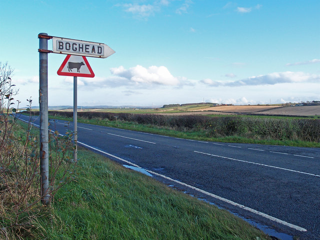
Image: © wfmillar Taken: 10 Nov 2011
Ayr/Galston road. Boghead is a farm down a minor road about 1.5Km from here.
Images are licensed for reuse under creativecommons.org/licenses/by-sa/2.0
Image Location
Latitude
55.546058
Longitude
-4.483345