Organic production at Ardersier
Introduction
The photograph on this page of Organic production at Ardersier by Ian R Maxwell as part of the Geograph project.
The Geograph project started in 2005 with the aim of publishing, organising and preserving representative images for every square kilometre of Great Britain, Ireland and the Isle of Man.

There are currently over 7.5m images from over 14,400 individuals and you can help contribute to the project by visiting https://www.geograph.org.uk
Organic production at Ardersier
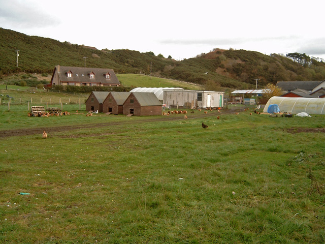
Image: © Ian R Maxwell Taken: 29 Oct 2006
Part of MacLeod Organics at Ardersier. The steep slope in the background is the old cliffline which was formed by the higher sea levels that existed at the end of the last ice age.
Images are licensed for reuse under creativecommons.org/licenses/by-sa/2.0
Image Location


Leaflet Map data © OpenStreetMap
Latitude
57.575701
Longitude
-4.043357