Gilroyd Lane
Introduction
The photograph on this page of Gilroyd Lane by Peter Turner as part of the Geograph project.
The Geograph project started in 2005 with the aim of publishing, organising and preserving representative images for every square kilometre of Great Britain, Ireland and the Isle of Man.

There are currently over 7.5m images from over 14,400 individuals and you can help contribute to the project by visiting https://www.geograph.org.uk
Gilroyd Lane
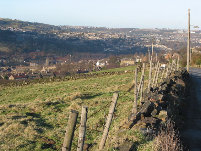
Image: © Peter Turner Taken: 23 Jan 2003
Looking back down the hill towards Linthwaite with Golcar across the valley and Longwood beyond with Longwood Edge the skyline.
Images are licensed for reuse under creativecommons.org/licenses/by-sa/2.0
Image Location
Latitude
53.620378
Longitude
-1.850748