Sewage Pumping Station
Introduction
The photograph on this page of Sewage Pumping Station by Alan Murray-Rust as part of the Geograph project.
The Geograph project started in 2005 with the aim of publishing, organising and preserving representative images for every square kilometre of Great Britain, Ireland and the Isle of Man.

There are currently over 7.5m images from over 14,400 individuals and you can help contribute to the project by visiting https://www.geograph.org.uk
Sewage Pumping Station
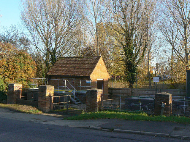
Image: © Alan Murray-Rust Taken: 1 Nov 2011
On the corner of Platt Lane and Nicker Hill, serving the north eastern sector of Keyworth. Because Keyworth sits on top of a hill, the land falls away on all sides so the drainage cannot all be directed straight to the treatment works to the west of the village.
Images are licensed for reuse under creativecommons.org/licenses/by-sa/2.0
Image Location
Latitude
52.87993
Longitude
-1.081352