Park Road
Introduction
The photograph on this page of Park Road by Alan Murray-Rust as part of the Geograph project.
The Geograph project started in 2005 with the aim of publishing, organising and preserving representative images for every square kilometre of Great Britain, Ireland and the Isle of Man.

There are currently over 7.5m images from over 14,400 individuals and you can help contribute to the project by visiting https://www.geograph.org.uk
Park Road
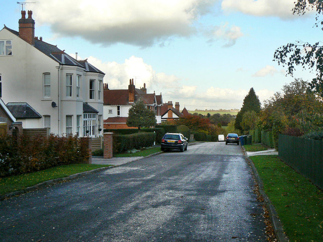
Image: © Alan Murray-Rust Taken: 1 Nov 2011
This area was developed under the name Plumtree Park, and effectively only became part of Keyworth as the village expanded to link with it. It was developed to allow commuting into Nottingham by train from the nearby Plumtree Station, just a few minutes walk distant. The houses are largely quite large detached houses. The roads in the area appear to have changed status from Private Road to public highway in quite recent times. Park Road is still designated by the County Council as a public footpath, having been built on the line of an existing footpath.
Images are licensed for reuse under creativecommons.org/licenses/by-sa/2.0
Image Location
Latitude
52.88239
Longitude
-1.08561