Lower Binnerton Farm
Introduction
The photograph on this page of Lower Binnerton Farm by Ian Capper as part of the Geograph project.
The Geograph project started in 2005 with the aim of publishing, organising and preserving representative images for every square kilometre of Great Britain, Ireland and the Isle of Man.

There are currently over 7.5m images from over 14,400 individuals and you can help contribute to the project by visiting https://www.geograph.org.uk
Lower Binnerton Farm
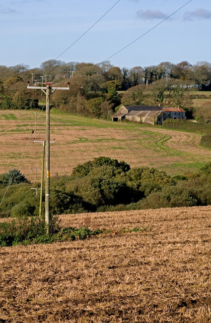
Image: © Ian Capper Taken: 28 Oct 2011
Viewed from near Gwedna. The River Hayle runs through the wooded dip in the centre of the photo.
Images are licensed for reuse under creativecommons.org/licenses/by-sa/2.0
Image Location
Latitude
50.147374
Longitude
-5.349446