Roydon: The Church House & the village sign
Introduction
The photograph on this page of Roydon: The Church House & the village sign by Nigel Cox as part of the Geograph project.
The Geograph project started in 2005 with the aim of publishing, organising and preserving representative images for every square kilometre of Great Britain, Ireland and the Isle of Man.

There are currently over 7.5m images from over 14,400 individuals and you can help contribute to the project by visiting https://www.geograph.org.uk
Roydon: The Church House & the village sign
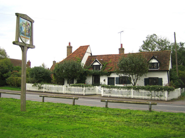
Image: © Nigel Cox Taken: 25 Oct 2006
The Church House is next to St. Peter's Church and was built c. 1475. The village sign shows that Roydon was mentioned in the Domesday Book of 1086, but also has modern icons of the canal and railway in the village.
Images are licensed for reuse under creativecommons.org/licenses/by-sa/2.0
Image Location
Latitude
51.772771
Longitude
0.039289