Findhorn Floodplain
Introduction
The photograph on this page of Findhorn Floodplain by Anne Burgess as part of the Geograph project.
The Geograph project started in 2005 with the aim of publishing, organising and preserving representative images for every square kilometre of Great Britain, Ireland and the Isle of Man.

There are currently over 7.5m images from over 14,400 individuals and you can help contribute to the project by visiting https://www.geograph.org.uk
Findhorn Floodplain
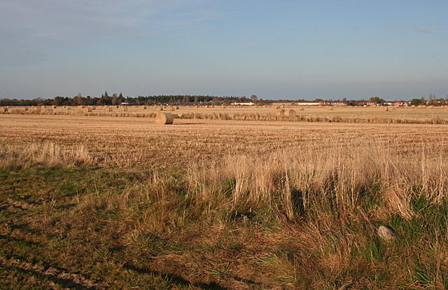
Image: © Anne Burgess Taken: 9 Nov 2011
Though the level of the river is well below this at the moment, this is obviously a floodplain, and indeed this land, and the whole of the town of Forres, were under water during the great floods of 1829. In the distance is some of the housing estate on the western fringe of the town.
Images are licensed for reuse under creativecommons.org/licenses/by-sa/2.0
Image Location
Latitude
57.598253
Longitude
-3.636144