Weir, Catteshall
Introduction
The photograph on this page of Weir, Catteshall by Robin Webster as part of the Geograph project.
The Geograph project started in 2005 with the aim of publishing, organising and preserving representative images for every square kilometre of Great Britain, Ireland and the Isle of Man.

There are currently over 7.5m images from over 14,400 individuals and you can help contribute to the project by visiting https://www.geograph.org.uk
Weir, Catteshall
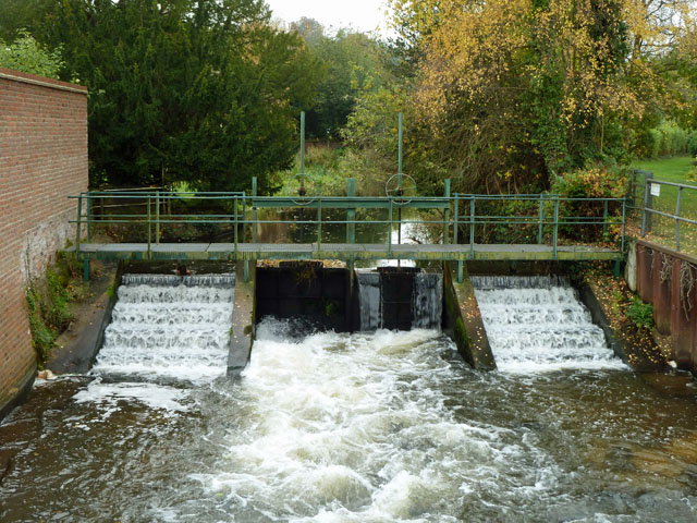
Image: © Robin Webster Taken: 9 Nov 2011
On the River Wey, upstream of the former mill. The navigable lock cut is 200 m to the right, well out of shot, as is a smaller backwater.
Images are licensed for reuse under creativecommons.org/licenses/by-sa/2.0
Image Location
Latitude
51.189678
Longitude
-0.596189