Quay Lane, Broadoak
Introduction
The photograph on this page of Quay Lane, Broadoak by Jaggery as part of the Geograph project.
The Geograph project started in 2005 with the aim of publishing, organising and preserving representative images for every square kilometre of Great Britain, Ireland and the Isle of Man.

There are currently over 7.5m images from over 14,400 individuals and you can help contribute to the project by visiting https://www.geograph.org.uk
Quay Lane, Broadoak
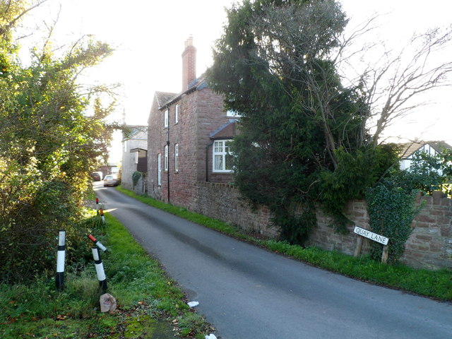
Image: © Jaggery Taken: 6 Nov 2011
Viewed from the A48 near a railway bridge. http://www.geograph.org.uk/photo/2685861 Shown on some maps as Quarry Lane but the street name sign (on the right) disagrees. Quay Lane leads to Riverside Lane. These two lanes, between the A48 and the River Severn, are the main residential area in the hamlet of Broadoak.
Images are licensed for reuse under creativecommons.org/licenses/by-sa/2.0
Image Location
Latitude
51.815717
Longitude
-2.436603