Flush Bracket G1118, Straloch School
Introduction
The photograph on this page of Flush Bracket G1118, Straloch School by Maigheach-gheal as part of the Geograph project.
The Geograph project started in 2005 with the aim of publishing, organising and preserving representative images for every square kilometre of Great Britain, Ireland and the Isle of Man.

There are currently over 7.5m images from over 14,400 individuals and you can help contribute to the project by visiting https://www.geograph.org.uk
Flush Bracket G1118, Straloch School
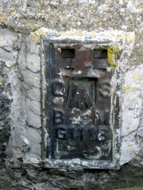
Image: © Maigheach-gheal Taken: 5 Nov 2011
The Ordnance Survey flush bracket is to be found near the school door. For a wider view of the building Image and for further information on the flush bracket and others in the area http://www.bench-marks.org.uk/bm375
Images are licensed for reuse under creativecommons.org/licenses/by-sa/2.0
Image Location
Latitude
56.756974
Longitude
-3.564042