Gates of Langtoft Primary School
Introduction
The photograph on this page of Gates of Langtoft Primary School by Martin Dawes as part of the Geograph project.
The Geograph project started in 2005 with the aim of publishing, organising and preserving representative images for every square kilometre of Great Britain, Ireland and the Isle of Man.

There are currently over 7.5m images from over 14,400 individuals and you can help contribute to the project by visiting https://www.geograph.org.uk
Gates of Langtoft Primary School
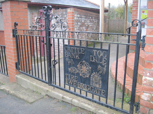
Image: © Martin Dawes Taken: 8 Nov 2011
Cattle Bank and Tog Dale are northeast of the village and Tire Ewe is the hill to the south. Briggate I will have to find an explanation for
Images are licensed for reuse under creativecommons.org/licenses/by-sa/2.0
Image Location
Latitude
54.088765
Longitude
-0.459363