Norbury Brook: looking downstream at Quadrant Road
Introduction
The photograph on this page of Norbury Brook: looking downstream at Quadrant Road by Christopher Hilton as part of the Geograph project.
The Geograph project started in 2005 with the aim of publishing, organising and preserving representative images for every square kilometre of Great Britain, Ireland and the Isle of Man.

There are currently over 7.5m images from over 14,400 individuals and you can help contribute to the project by visiting https://www.geograph.org.uk
Norbury Brook: looking downstream at Quadrant Road
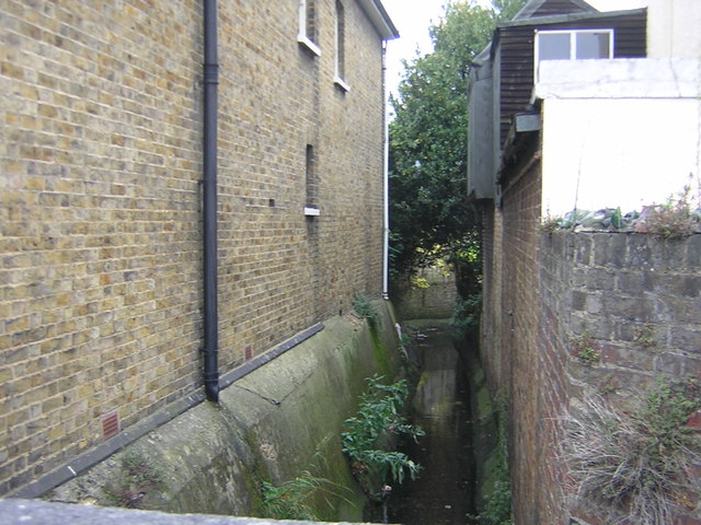
Image: © Christopher Hilton Taken: 7 Nov 2011
See Image for another downstream view from this point, and Image for the view upstream from Quadrant Road. Downstream from here the brook flows into Thornton Heath Recreation Ground, as shown on Image
Images are licensed for reuse under creativecommons.org/licenses/by-sa/2.0
Image Location
Latitude
51.39921
Longitude
-0.104888