A74(M), Bridge at Lockerbie
Introduction
The photograph on this page of A74(M), Bridge at Lockerbie by David Dixon as part of the Geograph project.
The Geograph project started in 2005 with the aim of publishing, organising and preserving representative images for every square kilometre of Great Britain, Ireland and the Isle of Man.

There are currently over 7.5m images from over 14,400 individuals and you can help contribute to the project by visiting https://www.geograph.org.uk
A74(M), Bridge at Lockerbie
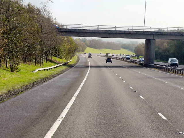
Image: © David Dixon Taken: 27 Oct 2011
The southbound A74(M) passes under the B7068, just after the Lockerbie junction (17).
Images are licensed for reuse under creativecommons.org/licenses/by-sa/2.0
Image Location


Leaflet Map data © OpenStreetMap
Latitude
55.133128
Longitude
-3.368618