A Lake in the Park
Introduction
The photograph on this page of A Lake in the Park by Des Blenkinsopp as part of the Geograph project.
The Geograph project started in 2005 with the aim of publishing, organising and preserving representative images for every square kilometre of Great Britain, Ireland and the Isle of Man.

There are currently over 7.5m images from over 14,400 individuals and you can help contribute to the project by visiting https://www.geograph.org.uk
A Lake in the Park
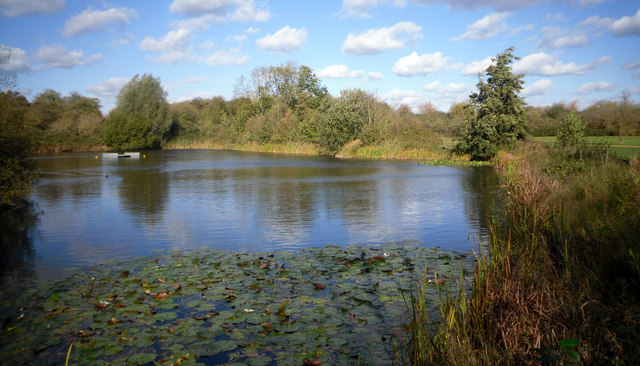
Image: © Des Blenkinsopp Taken: 18 Oct 2011
Between Frays River and new housing developments beside the Grand Union Canal there is an area of former gravel workings which has been landscaped into a park. The trees at the far side of the lake are growing on some old gravel tips which still remain.
Images are licensed for reuse under creativecommons.org/licenses/by-sa/2.0
Image Location
Latitude
51.516028
Longitude
-0.482267