Shebbear: the Torridge
Introduction
The photograph on this page of Shebbear: the Torridge by Martin Bodman as part of the Geograph project.
The Geograph project started in 2005 with the aim of publishing, organising and preserving representative images for every square kilometre of Great Britain, Ireland and the Isle of Man.

There are currently over 7.5m images from over 14,400 individuals and you can help contribute to the project by visiting https://www.geograph.org.uk
Shebbear: the Torridge
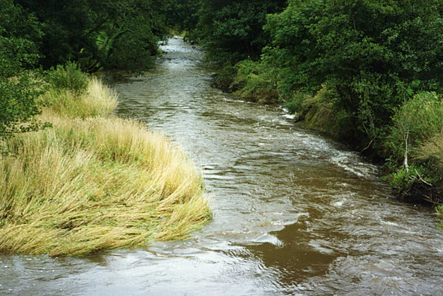
Image: © Martin Bodman Taken: Unknown
Looking downstream from Dipper Mill Bridge. The river forms the boundary with the next parish to the south - Black Torrington. Seen in September 1994
Images are licensed for reuse under creativecommons.org/licenses/by-sa/2.0
Image Location


Leaflet Map data © OpenStreetMap
Latitude
50.836452
Longitude
-4.219235