Sweetbrier Lane, Heavitree
Introduction
The photograph on this page of Sweetbrier Lane, Heavitree by Derek Harper as part of the Geograph project.
The Geograph project started in 2005 with the aim of publishing, organising and preserving representative images for every square kilometre of Great Britain, Ireland and the Isle of Man.

There are currently over 7.5m images from over 14,400 individuals and you can help contribute to the project by visiting https://www.geograph.org.uk
Sweetbrier Lane, Heavitree
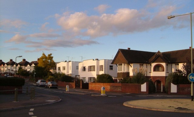
Image: © Derek Harper Taken: 24 Oct 2006
The roundabout at the crossroads of Whipton Lane and Sweetbrier Lane, looking northwest up the latter, past a pair of modernist villas which probably date from the 1930s.
Images are licensed for reuse under creativecommons.org/licenses/by-sa/2.0
Image Location
Latitude
50.724314
Longitude
-3.496015