A489 East approaching bridge near Lower Trefeen
Introduction
The photograph on this page of A489 East approaching bridge near Lower Trefeen by John Firth as part of the Geograph project.
The Geograph project started in 2005 with the aim of publishing, organising and preserving representative images for every square kilometre of Great Britain, Ireland and the Isle of Man.

There are currently over 7.5m images from over 14,400 individuals and you can help contribute to the project by visiting https://www.geograph.org.uk
A489 East approaching bridge near Lower Trefeen
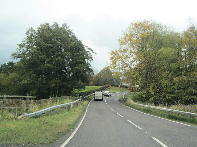
Image: © John Firth Taken: 31 Oct 2011
Road the corner is the road to Lower Trefeen. The overbridge where the railings are cross a small stream which joins the Afon Mule a few yards north
Images are licensed for reuse under creativecommons.org/licenses/by-sa/2.0
Image Location
Latitude
52.504942
Longitude
-3.209954