A fork in the path
Introduction
The photograph on this page of A fork in the path by Robert Kerr as part of the Geograph project.
The Geograph project started in 2005 with the aim of publishing, organising and preserving representative images for every square kilometre of Great Britain, Ireland and the Isle of Man.

There are currently over 7.5m images from over 14,400 individuals and you can help contribute to the project by visiting https://www.geograph.org.uk
A fork in the path
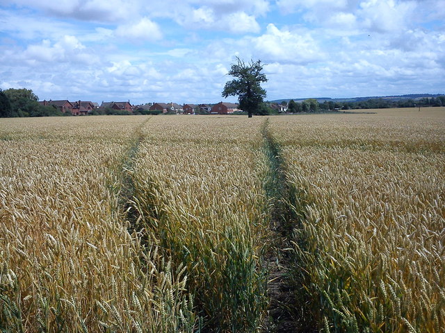
Image: © Robert Kerr Taken: 8 Jul 2011
The public footpath splits in two here as it crosses a field heading toward Lower Shelton.
Images are licensed for reuse under creativecommons.org/licenses/by-sa/2.0
Image Location
Latitude
52.074464
Longitude
-0.550368