Plymbridge Road
Introduction
The photograph on this page of Plymbridge Road by Derek Harper as part of the Geograph project.
The Geograph project started in 2005 with the aim of publishing, organising and preserving representative images for every square kilometre of Great Britain, Ireland and the Isle of Man.

There are currently over 7.5m images from over 14,400 individuals and you can help contribute to the project by visiting https://www.geograph.org.uk
Plymbridge Road
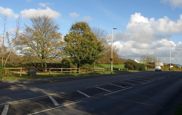
Image: © Derek Harper Taken: 1 Nov 2011
The B3432, shown here widening as it approaches dual carriageway past the Estover Industrial Estate, doesn't go to Plym Bridge; it veers off via Estover, while Plymbridge Road continues as an increasingly narrow lane down into the Plym valley. Here however, the two combine to cross the southwest corner of the square.
Images are licensed for reuse under creativecommons.org/licenses/by-sa/2.0
Image Location
Latitude
50.421458
Longitude
-4.098409