Leaving Marnhull
Introduction
The photograph on this page of Leaving Marnhull by David Redwood as part of the Geograph project.
The Geograph project started in 2005 with the aim of publishing, organising and preserving representative images for every square kilometre of Great Britain, Ireland and the Isle of Man.

There are currently over 7.5m images from over 14,400 individuals and you can help contribute to the project by visiting https://www.geograph.org.uk
Leaving Marnhull
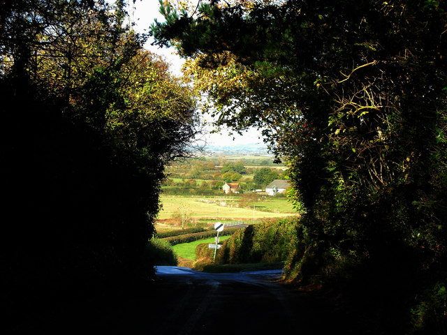
Image: © David Redwood Taken: 25 Oct 2011
The tree fringed lane from Marnull opens out revealing this wonderful vista of the Blackmore Vale with the River Stour at the bottom of the hill.
Images are licensed for reuse under creativecommons.org/licenses/by-sa/2.0
Image Location
Latitude
50.977866
Longitude
-2.328843