Junction of Cray's Lane and Peacocks Lane
Introduction
The photograph on this page of Junction of Cray's Lane and Peacocks Lane by Andy Potter as part of the Geograph project.
The Geograph project started in 2005 with the aim of publishing, organising and preserving representative images for every square kilometre of Great Britain, Ireland and the Isle of Man.

There are currently over 7.5m images from over 14,400 individuals and you can help contribute to the project by visiting https://www.geograph.org.uk
Junction of Cray's Lane and Peacocks Lane
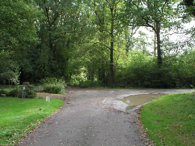
Image: © Andy Potter Taken: 26 Oct 2006
Seen from Peacocks Lane with Cray's Lane running left to right. Opposite Peacocks Lane is a track which was the old road to Warminghurst.
Images are licensed for reuse under creativecommons.org/licenses/by-sa/2.0
Image Location
Latitude
50.951518
Longitude
-0.411034