Path down Pollards Hill
Introduction
The photograph on this page of Path down Pollards Hill by David Anstiss as part of the Geograph project.
The Geograph project started in 2005 with the aim of publishing, organising and preserving representative images for every square kilometre of Great Britain, Ireland and the Isle of Man.

There are currently over 7.5m images from over 14,400 individuals and you can help contribute to the project by visiting https://www.geograph.org.uk
Path down Pollards Hill
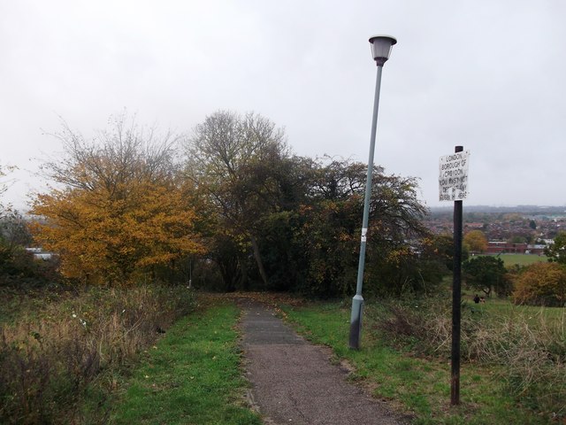
Image: © David Anstiss Taken: 30 Oct 2011
A path leads from Pollards Hill (road) towards Recreation Way. Some people prefer to use the grass open-space area on the right to head down. Nicer views.
Images are licensed for reuse under creativecommons.org/licenses/by-sa/2.0
Image Location
Latitude
51.40345
Longitude
-0.128148