The Seven Shires Way
Introduction
The photograph on this page of The Seven Shires Way by Shaun Ferguson as part of the Geograph project.
The Geograph project started in 2005 with the aim of publishing, organising and preserving representative images for every square kilometre of Great Britain, Ireland and the Isle of Man.

There are currently over 7.5m images from over 14,400 individuals and you can help contribute to the project by visiting https://www.geograph.org.uk
The Seven Shires Way
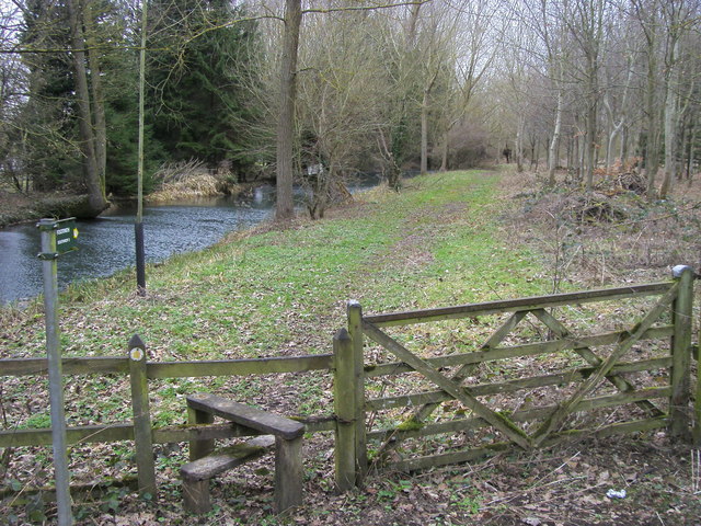
Image: © Shaun Ferguson Taken: 5 Feb 2011
Off A361 the Seven Shires Way by the River Leach heading to Southrop
Images are licensed for reuse under creativecommons.org/licenses/by-sa/2.0
Image Location
Latitude
51.711532
Longitude
-1.681396