Wraxall: ruined building
Introduction
The photograph on this page of Wraxall: ruined building by Martin Bodman as part of the Geograph project.
The Geograph project started in 2005 with the aim of publishing, organising and preserving representative images for every square kilometre of Great Britain, Ireland and the Isle of Man.

There are currently over 7.5m images from over 14,400 individuals and you can help contribute to the project by visiting https://www.geograph.org.uk
Wraxall: ruined building
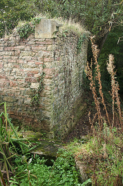
Image: © Martin Bodman Taken: 30 Oct 2011
By a watercourse. Possibly an old pump house serving the Tyntesfield estate
Images are licensed for reuse under creativecommons.org/licenses/by-sa/2.0
Image Location
Latitude
51.432553
Longitude
-2.719058