Princes St
Introduction
The photograph on this page of Princes St by Nigel Mykura as part of the Geograph project.
The Geograph project started in 2005 with the aim of publishing, organising and preserving representative images for every square kilometre of Great Britain, Ireland and the Isle of Man.

There are currently over 7.5m images from over 14,400 individuals and you can help contribute to the project by visiting https://www.geograph.org.uk
Princes St
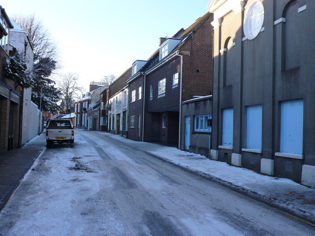
Image: © Nigel Mykura Taken: 18 Dec 2010
This is the top of princes St looking towards Albert Rd and The Borough Gardens. The rear entrance to the Wessex Royale Hotel is on the right in the middle distance.The building on the right foreground is the masonic hall.
Images are licensed for reuse under creativecommons.org/licenses/by-sa/2.0
Image Location


Leaflet Map data © OpenStreetMap
Latitude
50.714467
Longitude
-2.440308