Croydon Mosque and Islamic Centre
Introduction
The photograph on this page of Croydon Mosque and Islamic Centre by David Anstiss as part of the Geograph project.
The Geograph project started in 2005 with the aim of publishing, organising and preserving representative images for every square kilometre of Great Britain, Ireland and the Isle of Man.

There are currently over 7.5m images from over 14,400 individuals and you can help contribute to the project by visiting https://www.geograph.org.uk
Croydon Mosque and Islamic Centre
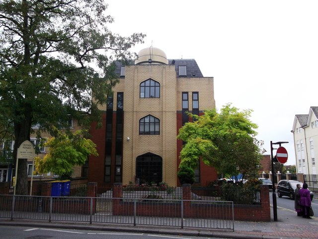
Image: © David Anstiss Taken: 30 Oct 2011
On the junction of the A235 London Road (in front) and Dunheved Road South (on the right). A masjid (temple) for daily five prayers.
Images are licensed for reuse under creativecommons.org/licenses/by-sa/2.0
Image Location
Latitude
51.389528
Longitude
-0.112331