Parkers Lane, Moreton in Marsh
Introduction
The photograph on this page of Parkers Lane, Moreton in Marsh by Des Blenkinsopp as part of the Geograph project.
The Geograph project started in 2005 with the aim of publishing, organising and preserving representative images for every square kilometre of Great Britain, Ireland and the Isle of Man.

There are currently over 7.5m images from over 14,400 individuals and you can help contribute to the project by visiting https://www.geograph.org.uk
Parkers Lane, Moreton in Marsh
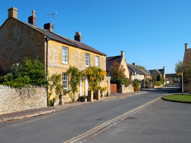
Image: © Des Blenkinsopp Taken: 29 Sep 2011
The Monarchs Way long distance path heads west out of Moreton along this short road of mixed age housing. This fine old house is opposite the modern fire station.
Images are licensed for reuse under creativecommons.org/licenses/by-sa/2.0
Image Location
Latitude
51.987707
Longitude
-1.705508