Flood at Rathen
Introduction
The photograph on this page of Flood at Rathen by Anne Burgess as part of the Geograph project.
The Geograph project started in 2005 with the aim of publishing, organising and preserving representative images for every square kilometre of Great Britain, Ireland and the Isle of Man.

There are currently over 7.5m images from over 14,400 individuals and you can help contribute to the project by visiting https://www.geograph.org.uk
Flood at Rathen
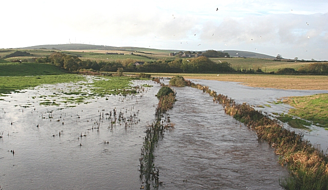
Image: © Anne Burgess Taken: 26 Oct 2006
The burn here was in spate after several days of heavy rain. In the distance is Mormond Hill.
Images are licensed for reuse under creativecommons.org/licenses/by-sa/2.0
Image Location


Leaflet Map data © OpenStreetMap
Latitude
57.637141
Longitude
-2.00836