Verulam School
Introduction
The photograph on this page of Verulam School by Ian Capper as part of the Geograph project.
The Geograph project started in 2005 with the aim of publishing, organising and preserving representative images for every square kilometre of Great Britain, Ireland and the Isle of Man.

There are currently over 7.5m images from over 14,400 individuals and you can help contribute to the project by visiting https://www.geograph.org.uk
Verulam School
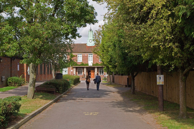
Image: © Ian Capper Taken: 4 Oct 2011
A secondary school for boys, with a mixed sixth form. Founded in 1938, it was for many years the local boys' grammar school, being renamed Verulam School on turning comprehensive in 1975.
Images are licensed for reuse under creativecommons.org/licenses/by-sa/2.0
Image Location
Latitude
51.755246
Longitude
-0.316206