Bargates at Westfield Walk
Introduction
The photograph on this page of Bargates at Westfield Walk by Peter Whatley as part of the Geograph project.
The Geograph project started in 2005 with the aim of publishing, organising and preserving representative images for every square kilometre of Great Britain, Ireland and the Isle of Man.

There are currently over 7.5m images from over 14,400 individuals and you can help contribute to the project by visiting https://www.geograph.org.uk
Bargates at Westfield Walk
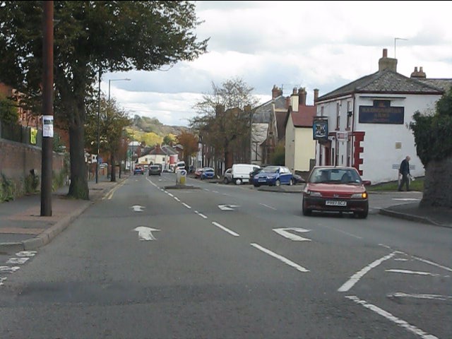
Image: © Peter Whatley Taken: 25 Oct 2011
Westfield Walk is a "rat run" for savvy locals to escape the traffic jams which often arise from the traffic lights at the end of Bargates, just visible in the far distance.
Images are licensed for reuse under creativecommons.org/licenses/by-sa/2.0
Image Location


Leaflet Map data © OpenStreetMap
Latitude
52.227044
Longitude
-2.742369