Priory Gardens housing development, Bridport.
Introduction
The photograph on this page of Priory Gardens housing development, Bridport. by John Stephen as part of the Geograph project.
The Geograph project started in 2005 with the aim of publishing, organising and preserving representative images for every square kilometre of Great Britain, Ireland and the Isle of Man.

There are currently over 7.5m images from over 14,400 individuals and you can help contribute to the project by visiting https://www.geograph.org.uk
Priory Gardens housing development, Bridport.
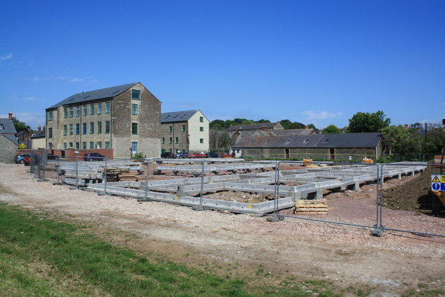
Image: © John Stephen Taken: 13 Jun 2010
Development of land behind Priory Mill and between the Evangelical Chapel on Priory Lane (the long low building) and the River Brit flood defence banking. The big old mill buildings have been converted to flats. See also Image
Images are licensed for reuse under creativecommons.org/licenses/by-sa/2.0
Image Location
Latitude
50.731069
Longitude
-2.761112