2011 : West from the lane to Horton
Introduction
The photograph on this page of 2011 : West from the lane to Horton by Maurice Pullin as part of the Geograph project.
The Geograph project started in 2005 with the aim of publishing, organising and preserving representative images for every square kilometre of Great Britain, Ireland and the Isle of Man.

There are currently over 7.5m images from over 14,400 individuals and you can help contribute to the project by visiting https://www.geograph.org.uk
2011 : West from the lane to Horton
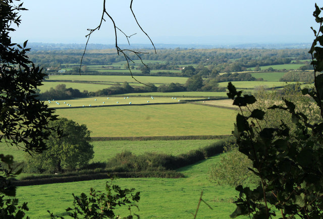
Image: © Maurice Pullin Taken: 3 Oct 2011
Coming from Hawkesbury. Looking over good south Gloucestershire farmland. The furthest hills are north of Bristol, Thornbury way. An unseasonal heat haze prevents a view of the other side of the Severn Estuary, usually visible from here.
Images are licensed for reuse under creativecommons.org/licenses/by-sa/2.0
Image Location
Latitude
51.56022
Longitude
-2.345579