Ladysmith Street, Ullapool
Introduction
The photograph on this page of Ladysmith Street, Ullapool by Vanhercke Christiaan as part of the Geograph project.
The Geograph project started in 2005 with the aim of publishing, organising and preserving representative images for every square kilometre of Great Britain, Ireland and the Isle of Man.

There are currently over 7.5m images from over 14,400 individuals and you can help contribute to the project by visiting https://www.geograph.org.uk
Ladysmith Street, Ullapool
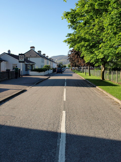
Image: © Vanhercke Christiaan Taken: 3 Jun 2011
Looking in the direction of Loch Broom. On the right side the grounds of the "Ullapool Primary School".
Images are licensed for reuse under creativecommons.org/licenses/by-sa/2.0
Image Location


Leaflet Map data © OpenStreetMap
Latitude
57.899001
Longitude
-5.159735