Ullapool River
Introduction
The photograph on this page of Ullapool River by Vanhercke Christiaan as part of the Geograph project.
The Geograph project started in 2005 with the aim of publishing, organising and preserving representative images for every square kilometre of Great Britain, Ireland and the Isle of Man.

There are currently over 7.5m images from over 14,400 individuals and you can help contribute to the project by visiting https://www.geograph.org.uk
Ullapool River
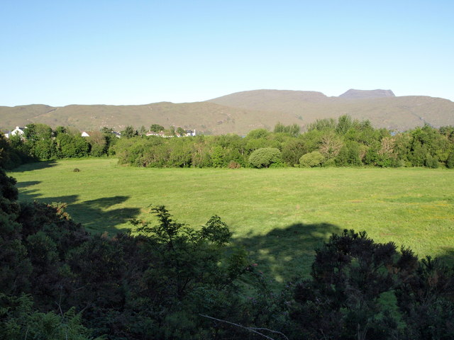
Image: © Vanhercke Christiaan Taken: 3 Jun 2011
The grassy left bank of the Ullapool River. The houses on Riverside Terrace are visible on the left, Beinn Ghobhlach in the distance.
Images are licensed for reuse under creativecommons.org/licenses/by-sa/2.0
Image Location
Latitude
57.900488
Longitude
-5.161385