SE border of Ross-on-Wye
Introduction
The photograph on this page of SE border of Ross-on-Wye by Jaggery as part of the Geograph project.
The Geograph project started in 2005 with the aim of publishing, organising and preserving representative images for every square kilometre of Great Britain, Ireland and the Isle of Man.

There are currently over 7.5m images from over 14,400 individuals and you can help contribute to the project by visiting https://www.geograph.org.uk
SE border of Ross-on-Wye
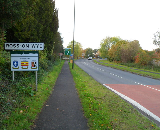
Image: © Jaggery Taken: 30 Oct 2011
Viewed along Gloucester Road (the A40) from Hildersley, near the fire station. http://www.geograph.org.uk/photo/2671538 The sign shows that Ross-on-Wye is twinned with Condé-sur-Noireau (France), Namutumba (Uganda) and Betzdorf, Germany. A change since 2008 http://www.geograph.org.uk/photo/1047465 is the replacement of Ross-on-Wye with Namutumba.
Images are licensed for reuse under creativecommons.org/licenses/by-sa/2.0
Image Location
Latitude
51.913149
Longitude
-2.569845