Burley, Coffins Holms
Introduction
The photograph on this page of Burley, Coffins Holms by Mike Faherty as part of the Geograph project.
The Geograph project started in 2005 with the aim of publishing, organising and preserving representative images for every square kilometre of Great Britain, Ireland and the Isle of Man.

There are currently over 7.5m images from over 14,400 individuals and you can help contribute to the project by visiting https://www.geograph.org.uk
Burley, Coffins Holms
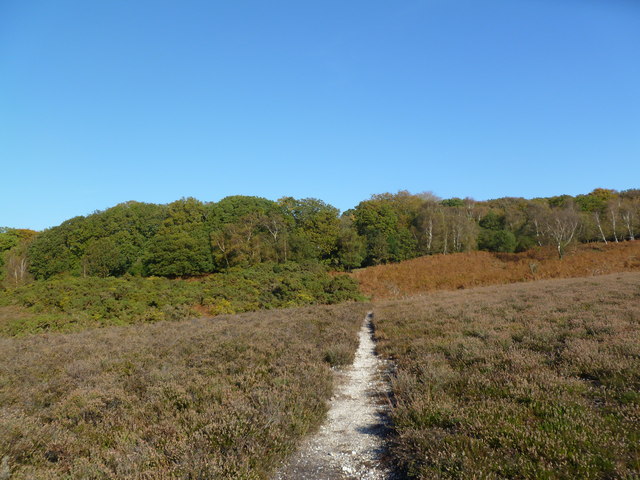
Image: © Mike Faherty Taken: 28 Oct 2011
A belt of woodland shielding properties from the open heathland; oak, birch, with holly in the under-storey. "Holm" is the New Forest name for holly.
Images are licensed for reuse under creativecommons.org/licenses/by-sa/2.0
Image Location


Leaflet Map data © OpenStreetMap
Latitude
50.8298
Longitude
-1.72023