St Margaret Road
Introduction
The photograph on this page of St Margaret Road by Ian Capper as part of the Geograph project.
The Geograph project started in 2005 with the aim of publishing, organising and preserving representative images for every square kilometre of Great Britain, Ireland and the Isle of Man.

There are currently over 7.5m images from over 14,400 individuals and you can help contribute to the project by visiting https://www.geograph.org.uk
St Margaret Road
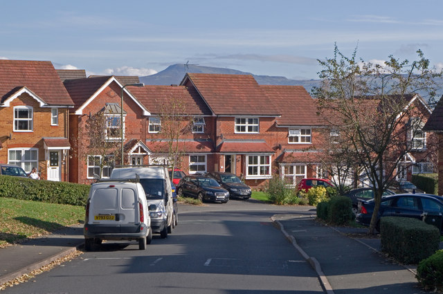
Image: © Ian Capper Taken: 16 Oct 2011
Late 1990s/early 2000s? development on the eastern side of Ludlow, within the bypass. In the distance is Titterstone Clee Hill.
Images are licensed for reuse under creativecommons.org/licenses/by-sa/2.0
Image Location
Latitude
52.372851
Longitude
-2.700981