Dros y gors
Introduction
The photograph on this page of Dros y gors by Jonathan Wilkins as part of the Geograph project.
The Geograph project started in 2005 with the aim of publishing, organising and preserving representative images for every square kilometre of Great Britain, Ireland and the Isle of Man.

There are currently over 7.5m images from over 14,400 individuals and you can help contribute to the project by visiting https://www.geograph.org.uk
Dros y gors
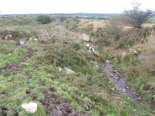
Image: © Jonathan Wilkins Taken: 14 Oct 2011
In theory at least, a footpath runs at the side of this small stream which descends from the Ceunant road towards the boggy valley. Large, glacially-derived boulders have been turned up where the stream has been deepened for drainage.
Images are licensed for reuse under creativecommons.org/licenses/by-sa/2.0
Image Location
Latitude
53.120725
Longitude
-4.207657