Boarded Up House, Kenilworth Rd
Introduction
The photograph on this page of Boarded Up House, Kenilworth Rd by Nigel Mykura as part of the Geograph project.
The Geograph project started in 2005 with the aim of publishing, organising and preserving representative images for every square kilometre of Great Britain, Ireland and the Isle of Man.

There are currently over 7.5m images from over 14,400 individuals and you can help contribute to the project by visiting https://www.geograph.org.uk
Boarded Up House, Kenilworth Rd
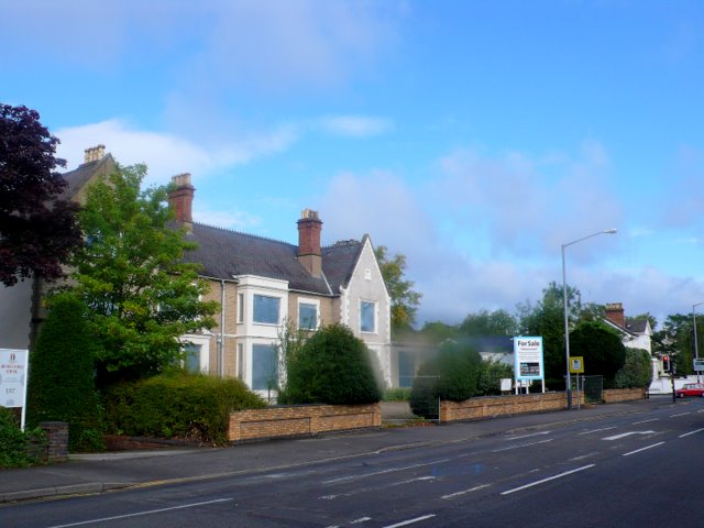
Image: © Nigel Mykura Taken: 26 Aug 2011
It is a long time since this building known as Homewood was used as a house and it was a hotel until 1952 when it became the MHA care home. It was a care home for 59 years until recently when a new "Homewood Care Home " was built further along the Kenilworth Rd. As can be seen the old Homewood has been boarded up. The site may be redeveloped but it is in a conservation area. The road is the old A452 which has now been rerouted away from the centre of town and this is now the B4087. Thanks to John Brightley for the extra information.
Images are licensed for reuse under creativecommons.org/licenses/by-sa/2.0
Image Location
Latitude
52.297245
Longitude
-1.535857