Ashen Tree Brook
Introduction
The photograph on this page of Ashen Tree Brook by Simon Carey as part of the Geograph project.
The Geograph project started in 2005 with the aim of publishing, organising and preserving representative images for every square kilometre of Great Britain, Ireland and the Isle of Man.

There are currently over 7.5m images from over 14,400 individuals and you can help contribute to the project by visiting https://www.geograph.org.uk
Ashen Tree Brook
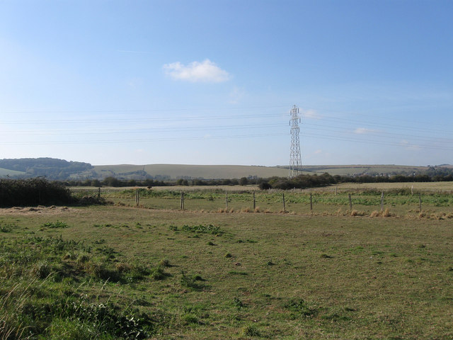
Image: © Simon Carey Taken: 22 Oct 2011
The name of the field according to the 1842 South Heighton tithe map which has been expanded to include Image to the east though it has lost its southern portion to the A26.
Images are licensed for reuse under creativecommons.org/licenses/by-sa/2.0
Image Location
Latitude
50.80463
Longitude
0.051911