Lane from Roxhill Manor Farm to Ashbrook Farm
Introduction
The photograph on this page of Lane from Roxhill Manor Farm to Ashbrook Farm by Robert Kerr as part of the Geograph project.
The Geograph project started in 2005 with the aim of publishing, organising and preserving representative images for every square kilometre of Great Britain, Ireland and the Isle of Man.

There are currently over 7.5m images from over 14,400 individuals and you can help contribute to the project by visiting https://www.geograph.org.uk
Lane from Roxhill Manor Farm to Ashbrook Farm
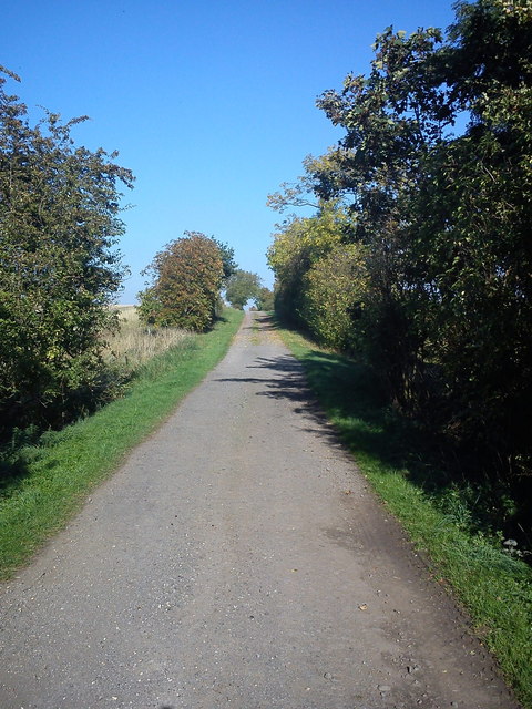
Image: © Robert Kerr Taken: 28 Sep 2011
This is a public bridleway connecting Roxhill Manor Farm to Ashbrook Farm. It forms part of the John Bunyan Trail.
Images are licensed for reuse under creativecommons.org/licenses/by-sa/2.0
Image Location
Latitude
52.08294
Longitude
-0.574466