The old Cairn O'Mounth Road past Bogendreip
Introduction
The photograph on this page of The old Cairn O'Mounth Road past Bogendreip by Stanley Howe as part of the Geograph project.
The Geograph project started in 2005 with the aim of publishing, organising and preserving representative images for every square kilometre of Great Britain, Ireland and the Isle of Man.

There are currently over 7.5m images from over 14,400 individuals and you can help contribute to the project by visiting https://www.geograph.org.uk
The old Cairn O'Mounth Road past Bogendreip
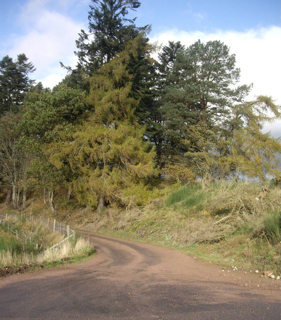
Image: © Stanley Howe Taken: 27 Oct 2011
Before the new bridge was built. It now just serves as access to Bogendreip and a couple of other farms.
Images are licensed for reuse under creativecommons.org/licenses/by-sa/2.0
Image Location
Latitude
57.009887
Longitude
-2.558326