Mid Cambusmoon
Introduction
The photograph on this page of Mid Cambusmoon by Lairich Rig as part of the Geograph project.
The Geograph project started in 2005 with the aim of publishing, organising and preserving representative images for every square kilometre of Great Britain, Ireland and the Isle of Man.

There are currently over 7.5m images from over 14,400 individuals and you can help contribute to the project by visiting https://www.geograph.org.uk
Mid Cambusmoon
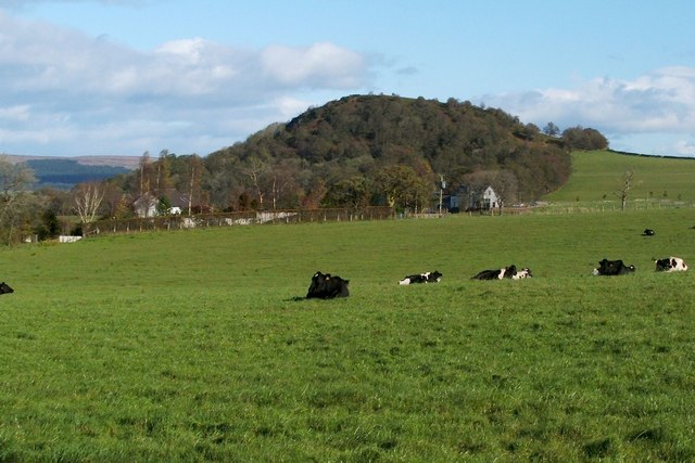
Image: © Lairich Rig Taken: 19 Oct 2011
The farm buildings are visible at the foot of a hill which is known locally as Image On the name Cambusmoon, see Image See also Image and Image
Images are licensed for reuse under creativecommons.org/licenses/by-sa/2.0
Image Location
Latitude
56.034827
Longitude
-4.523328