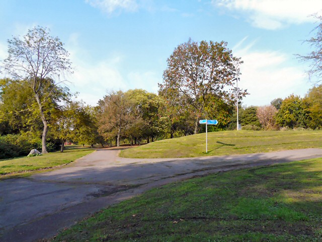
Queen's Park
Introduction
The photograph on this page of Queen's Park by Gerald England as part of the Geograph project.
The Geograph project started in 2005 with the aim of publishing, organising and preserving representative images for every square kilometre of Great Britain, Ireland and the Isle of Man.
There are currently over 7.5m images from over 14,400 individuals and you can help contribute to the project by visiting https://www.geograph.org.uk

Image: © Gerald England Taken: 1 Oct 2011
The South-East corner of Queen's Park. It was one of the first parks in Manchester opened on the same day in 1846 as Phillips Park. It is part of a green corridor leading out of the city centre along the River Irk. The land originally belonged to the Houghton Family. They built Hendham Hall on the site in 1800. In 1845 the park was designed and laid out by Joshua Major and purchased by Manchester Corporation for £7,200 in 1846. https://manchesterhistory.net/manchester/squares/queenspark.html

