Pitreavie Footpath
Introduction
The photograph on this page of Pitreavie Footpath by Robert Struthers as part of the Geograph project.
The Geograph project started in 2005 with the aim of publishing, organising and preserving representative images for every square kilometre of Great Britain, Ireland and the Isle of Man.

There are currently over 7.5m images from over 14,400 individuals and you can help contribute to the project by visiting https://www.geograph.org.uk
Pitreavie Footpath
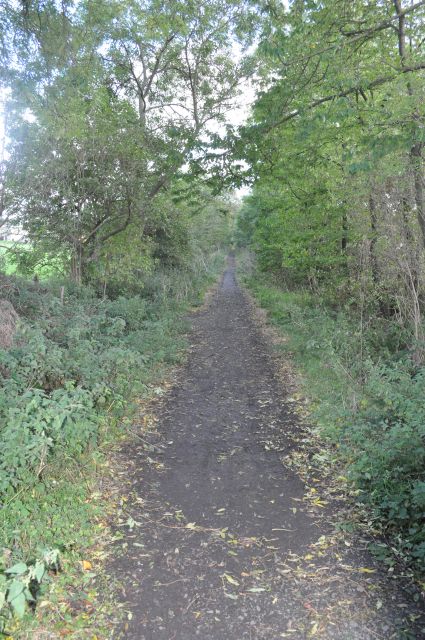
Image: © Robert Struthers Taken: 7 Oct 2011
This hidden path runs between Carnegie Drive and Pitreavie Sports Ground, and marks the line of the old road as found on old maps of the area.
Images are licensed for reuse under creativecommons.org/licenses/by-sa/2.0
Image Location
Latitude
56.050932
Longitude
-3.428245