Highstead Lane
Introduction
The photograph on this page of Highstead Lane by Robin Webster as part of the Geograph project.
The Geograph project started in 2005 with the aim of publishing, organising and preserving representative images for every square kilometre of Great Britain, Ireland and the Isle of Man.

There are currently over 7.5m images from over 14,400 individuals and you can help contribute to the project by visiting https://www.geograph.org.uk
Highstead Lane
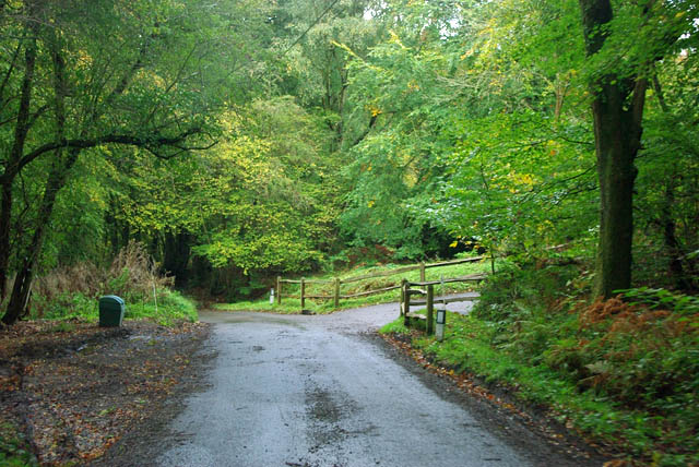
Image: © Robin Webster Taken: 25 Oct 2011
A brief break in the tree cover in the long woodland section of the lane, at the turning for various properties tucked away in the woods.
Images are licensed for reuse under creativecommons.org/licenses/by-sa/2.0
Image Location
Latitude
51.019725
Longitude
-0.697851