Milnrow Road from Dunwood Park Courts
Introduction
The photograph on this page of Milnrow Road from Dunwood Park Courts by michael ely as part of the Geograph project.
The Geograph project started in 2005 with the aim of publishing, organising and preserving representative images for every square kilometre of Great Britain, Ireland and the Isle of Man.

There are currently over 7.5m images from over 14,400 individuals and you can help contribute to the project by visiting https://www.geograph.org.uk
Milnrow Road from Dunwood Park Courts
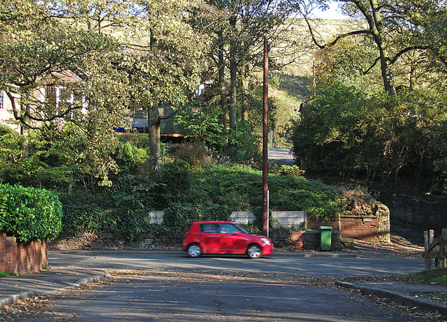
Image: © michael ely Taken: 22 Oct 2011
The car is heading towards Shaw on Milnrow Road (A663). The narrow road climbing into the distance is Higher Park.
Images are licensed for reuse under creativecommons.org/licenses/by-sa/2.0
Image Location
Latitude
53.589878
Longitude
-2.088036