Benchmark at 56 Water Street, Rhyl
Introduction
The photograph on this page of Benchmark at 56 Water Street, Rhyl by Meirion as part of the Geograph project.
The Geograph project started in 2005 with the aim of publishing, organising and preserving representative images for every square kilometre of Great Britain, Ireland and the Isle of Man.

There are currently over 7.5m images from over 14,400 individuals and you can help contribute to the project by visiting https://www.geograph.org.uk
Benchmark at 56 Water Street, Rhyl
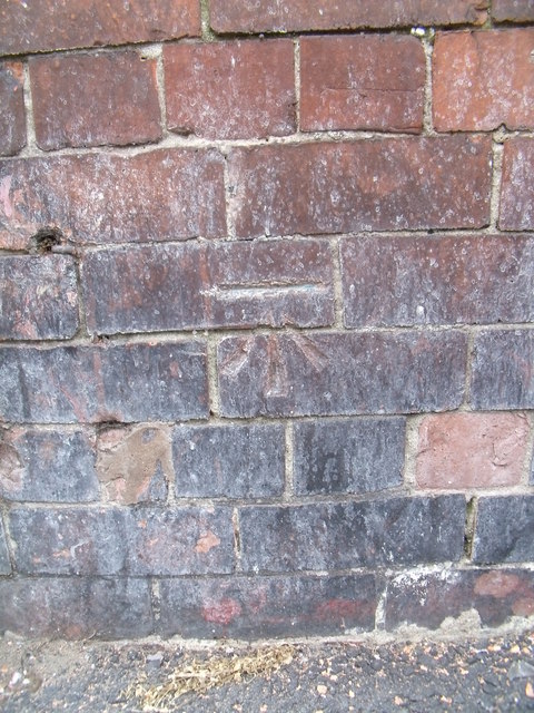
Image: © Meirion Taken: 14 Oct 2011
This benchmark is located on the W face of No. 56 Water Street in Rhyl and it is shown in the current Ordnance Survey database at a height of 6.9600m above the Newlyn datum.
Images are licensed for reuse under creativecommons.org/licenses/by-sa/2.0
Image Location
Latitude
53.320641
Longitude
-3.494122