Drop box, Newtownards
Introduction
The photograph on this page of Drop box, Newtownards by Albert Bridge as part of the Geograph project.
The Geograph project started in 2005 with the aim of publishing, organising and preserving representative images for every square kilometre of Great Britain, Ireland and the Isle of Man.

There are currently over 7.5m images from over 14,400 individuals and you can help contribute to the project by visiting https://www.geograph.org.uk
Drop box, Newtownards
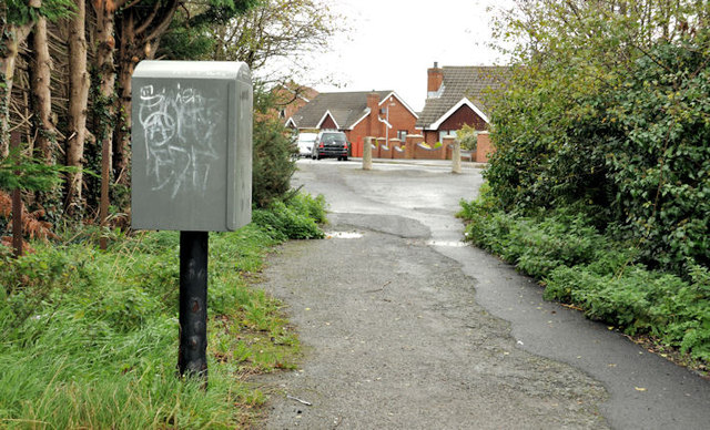
Image: © Albert Bridge Taken: 25 Oct 2011
A drop box, on the path connecting the old line of the Movilla Road Image to the present (background).
Images are licensed for reuse under creativecommons.org/licenses/by-sa/2.0
Image Location
Latitude
54.5951
Longitude
-5.6696